MCT DAILY

No fake news. No noise. Just the facts you need.

The morning Daily Brief anchors the day. New developments and short explainers follow when the story changes.

FIVE THINGS TO KNOW…

Short explainers published throughout the day.

MCT READER PULSE · MCT-PULSE-2026-004

MCT READER SURVEY

Do you agree with Atty. Lorna Kapunan’s view that Vice President Sara Duterte’s public remarks about threats and hiring an assassin contribute to the problem of violence among Filipino youth?Sang-ayon ka ba sa pananaw ni Atty. Lorna Kapunan na nakadaragdag sa problema ng karahasan sa kabataang Pilipino ang mga pampublikong pahayag ni Vice President Sara Duterte tungkol sa pagbabanta at pagkuha ng assassin?

During an August 19 online press briefing, Kapunan said she was not blaming the Vice President alone. She said Sara Duterte was “contributing to the problem and not to the solution,” while also pointing to political leadership, family values, news coverage, and social media.

Read the report and Kapunan’s quoted remarks before answering.

This survey measures reader opinion. It cannot establish that a public statement or action caused a violent incident. It reflects only the views of verified MCT readers who choose to participate and is not nationally representative.

Open the shareable survey page →
View reader pulse archive →
Checking your reader session…

August 22, 2026 · 6:46 AM7-minute read

ABOUT THE NATIONAL LAND USE ACT AND FLOODING

Flood control is not only about pumps, canals and drainage. It also depends on where communities build, which lands remain open, and whether development decisions follow the same hazard information.

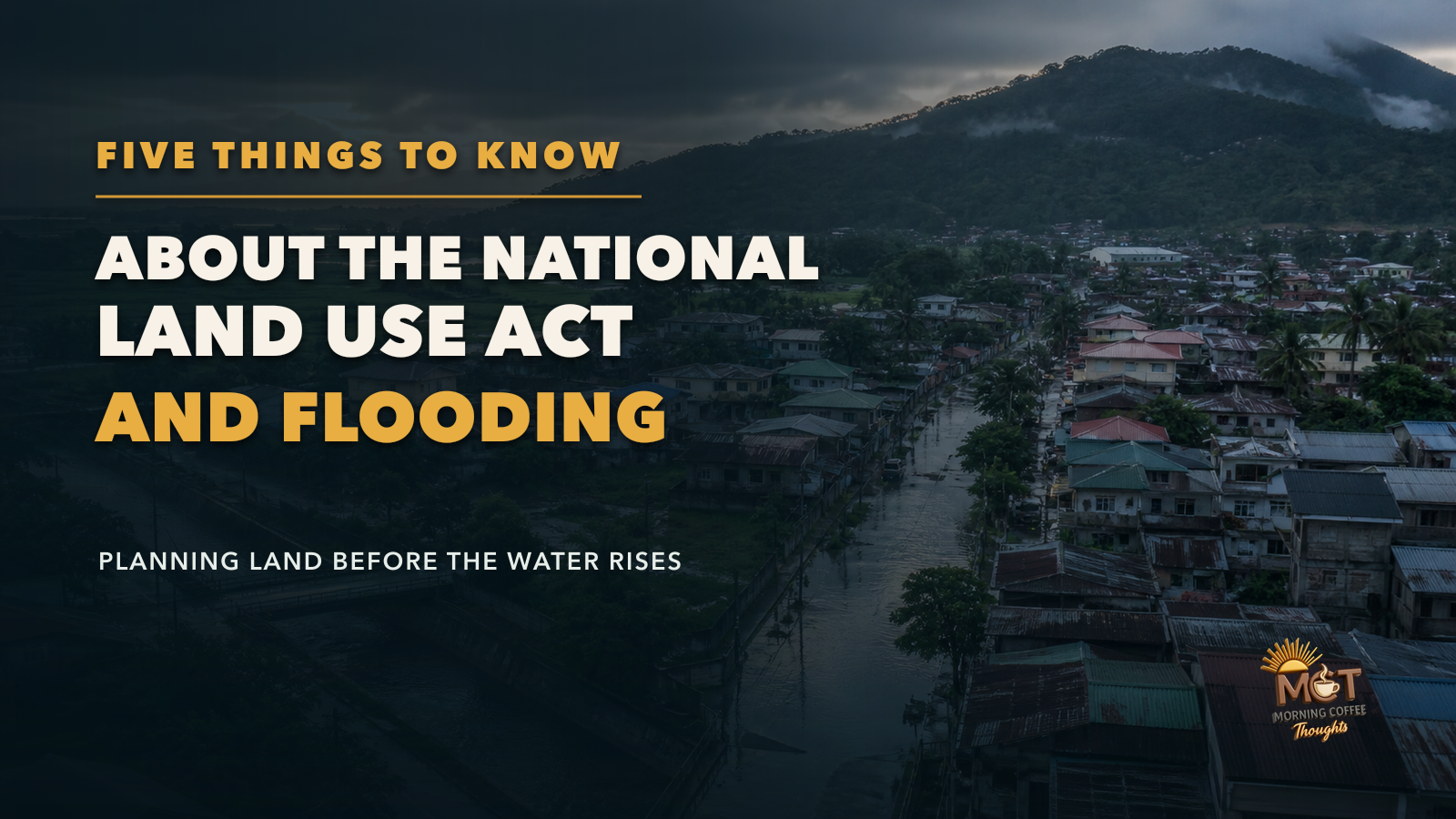
A flood-prone Philippine community beside fields and a forested watershed under the title About the National Land Use Act and Flooding.

Another stretch of monsoon flooding has revived a proposal that Congress has debated in different forms for decades: a National Land Use Act.

Parañaque Representative Brian Raymund Yamsuan recently urged the Senate to act on the House-approved measure, arguing that recurring floods cannot be addressed through drainage projects alone. His central point is worth examining. Land-use decisions determine where houses, factories and roads are allowed, which flood plains remain open, and whether forests, watersheds and agricultural land continue absorbing and slowing water.

That does not mean one new law would make floods disappear. Existing communities would remain exposed. Drainage systems would still need maintenance and expansion. Rivers and waterways would still need protection, and local governments would still have to enforce their plans.

Here are five things to know about the proposal and what it could—and could not—do.

1

1. FLOODING IS ALSO A LAND-USE PROBLEM

Flood control usually becomes visible when government builds a pumping station, widens a drainage channel or clears a waterway. Those measures matter, but they address water after it has already reached developed areas.

Land-use planning deals with an earlier question: What should be built in a particular place in the first place?

Homes and businesses placed in flood plains face greater exposure when rivers rise. Construction that covers absorbent soil with concrete can increase runoff. Development that damages watersheds, mangroves or other natural buffers can remove areas that store or slow water. A road, subdivision or industrial project approved by one locality may also affect water flowing into another.

The Department of Human Settlements and Urban Development already tells local governments to use hazard maps and climate-and-disaster risk assessments when preparing comprehensive land-use plans. The proposed national law would try to place those local decisions inside one coordinated framework.

It would not eliminate the need for drainage and flood-control infrastructure. Its value would be in reducing the number of future projects and settlements placed where the risk is already known.

WHAT TO WATCH

Whether lawmakers clearly separate the problems that land-use rules can prevent from the flooding that still requires engineering, maintenance, watershed rehabilitation and emergency response.

2

2. THE HOUSE HAS PASSED A BILL, BUT IT IS NOT YET LAW

The House of Representatives approved House Bill No. 8466 on third and final reading on May 5, 2026, by a vote of 224–3 with no abstentions. It transmitted the bill to the Senate the next day.

The Senate formally received the measure and referred it to its committees on Sustainable Development Goals, Innovation and Futures Thinking, and Finance. That is an important procedural step, but it is not final approval.

The Senate may conduct hearings, amend the House text or use a separate Senate proposal as the basis for a substitute bill. If the Senate approves language different from the House version, the two chambers must reconcile the differences. Both chambers must then approve the final text before it can be sent to the President.

Senate Bill No. 400, filed by Senator Panfilo Lacson in July 2025, is one existing Senate proposal. Its legislative page still lists it as pending in committee. The current news, therefore, is a renewed effort to move the policy—not the enactment of a new law.

WHAT TO WATCH

The Senate committee schedule, the version it chooses to advance, the provisions it changes, and whether the measure reaches plenary voting rather than remaining at the hearing stage.

3

3. THE PLAN WOULD TRY TO MAKE NATIONAL AND LOCAL DECISIONS MOVE IN THE SAME DIRECTION

The House bill would create a National Land Use Commission under the Office of the President. The commission would prepare a 30-year National Physical Framework Plan and update it every 10 years.

That framework would guide decisions involving settlements, agricultural and other production areas, environmental protection zones, infrastructure and transmission corridors. Regional, provincial, city and municipal plans would have to be harmonized with it.

The House version groups land uses into four broad categories: protection, production, settlements development and infrastructure development. The point is not merely to color a national map. It is to settle conflicts among needs that often compete for the same land—housing, farming, roads, energy facilities, commercial development, forests and water systems.

Local governments would still prepare and enforce their comprehensive land-use plans and zoning ordinances. The proposed national framework is meant to give those plans common standards and prevent adjacent localities or national agencies from pursuing projects that work against one another.

That coordination will only be useful if the final law explains how conflicts will be resolved, gives local planners reliable data, and provides enough technical and financial support for updated plans.

WHAT TO WATCH

Whether the final text clearly defines the authority of the national commission, protects legitimate local decision-making, and provides a transparent process when national and local plans conflict.

4

4. HAZARD MAPS WOULD HAVE TO INFLUENCE WHAT GETS BUILT

The House measure calls for hazard maps, geospatial data and environmental assessments to be considered in land-use decisions, especially in flood plains, critical watersheds, coastal zones and other hazard-prone areas.

The government does not have to begin from zero. The Mines and Geosciences Bureau maintains detailed flood-susceptibility and rain-induced landslide maps. DHSUD planning guidance already directs local governments to identify hazards, determine their location and severity, and use the results to restrict or guide future development.

The harder problem is turning information into enforceable decisions. A map has little protective value if officials approve a project without consulting it, if a zoning exception quietly overrides it, or if the public cannot see why a high-risk site was cleared for development.

The proposal also reaches beyond floods. The House version would protect prime agricultural land, forests, watersheds, mangroves, coastal zones, national parks and heritage areas. It also recognizes ancestral domains and calls for land-use planning that respects Indigenous communities and their traditional resource-management systems.

WHAT TO WATCH

Whether official maps are current, publicly accessible and used consistently—and whether approvals in high-risk or protected areas require written reasons that citizens can examine and challenge.

5

5. A NATIONAL PLAN WILL NOT REPAIR TODAY'S FLOODING BY ITSELF

Even a strong land-use law would mostly shape future decisions. It would not instantly remove existing homes from flood plains, enlarge drainage pipes, restore blocked waterways, operate pumping stations or repair damaged watersheds.

Existing communities create the most difficult questions. Government cannot treat a hazard map as permission to displace people without safe relocation, livelihood support, consultation and due process. At the same time, repeatedly rebuilding in locations with extreme risk can leave families trapped in a cycle of evacuation and loss.

Implementation would also determine whether the law succeeds. Local governments need trained planners, updated maps, reliable property and population data, enforcement staff and money. National agencies need to coordinate instead of issuing contradictory approvals. Developers and landowners need predictable rules, while communities need access to hearings, records and appeal mechanisms.

A poorly implemented law could become another plan stored on a shelf. Worse, vague exceptions or opaque rezoning could allow powerful interests to obtain approvals while ordinary residents carry the risk.

WHAT TO WATCH

The funding, transition rules, public-consultation requirements, relocation safeguards, enforcement mechanisms and disclosure rules that will determine whether the final law changes actual development decisions.

BOTTOM LINE

The proposed National Land Use Act addresses a question that becomes urgent every time floodwater enters another neighborhood: Why do government agencies and local governments keep making development decisions without one binding, long-term view of the land? The House-approved bill would create a national framework, align local plans, use hazard information and protect areas important to food security and the environment. Those are meaningful objectives. But the proposal should not be sold as an instant flood cure. Pumps, drainage, waterways, solid-waste management, watershed rehabilitation and disaster response would still matter. Existing high-risk communities would still need solutions that protect both safety and rights. The real test is whether Congress produces a law that makes hazard data difficult to ignore, land-use decisions easier to scrutinize, and exceptions harder to obtain through influence. If it does, the country may prevent some of the dangerous development choices that turn heavy rain into recurring human loss.

RECENT COMMENTARY

THE LATEST FROM MCT

View all commentary →

SUPPORT MCT

HELP KEEP INDEPENDENT POLITICAL WRITING GOING.

Morning Coffee Thoughts is reader-supported. Contributions help pay for research tools, hosting, and the work required to verify and explain each development.

Choose the monthly support amount you are comfortable with.Continue through PayPal
Send support through GCash0969 314 4839